The Sendero del Hayedo is Sorogain’s simplest and most accessible route, and a good continuation of a visit to the CIS.
The itinerary we propose begins and ends at the CIS, although the waymarked loop itself starts at the rest area, about 400 metres from the Centre, and in a short time reveals how nature and human activity overlap within the same landscape.
The forest, an old charcoal-burning site, the stream and the bordas (mountain huts) show a place that has been a refuge for biodiversity, a source of resources and a space for living and working.
A short stretch follows the road, shared with motor traffic: bear this in mind and stay alert.
Total distance
2,6 km
Waymarked loop
1,8 km
Approx. duration
≈55′ / ≈75′ (with stops)
Elevation gain
53 m
Difficulty
Very low
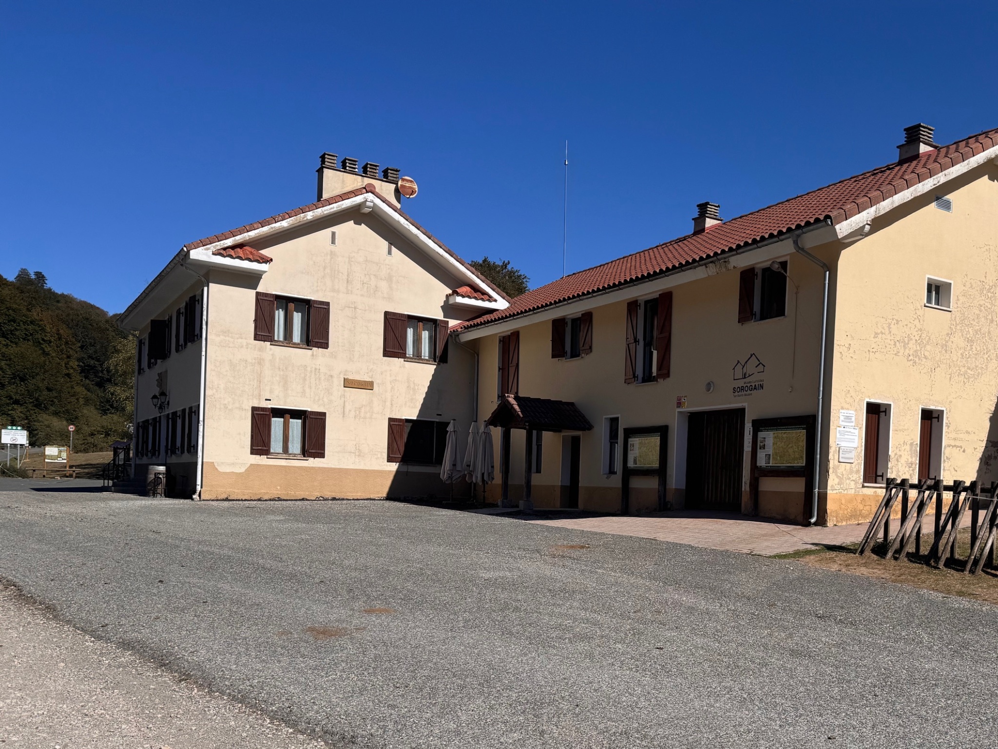
Before setting out, visit the Sorogain Interpretation Centre. The CIS was conceived as the gateway to the Sorogain area and the starting point for its themed trails.
Its exhibition presents three key themes for reading and understanding Sorogain — Nature, Human Footprint and Border Territory — and links them to digital content available on the website.
Its automated operation allows visitors to explore the Centre independently and then continue the experience outdoors. The Centre is one of the actions under the Destination Tourism Sustainability Plan for the Navarrese Pyrenees, funded by NextGenerationEU.
Next to the CIS, the Sorogain Hostel offers accommodation, as well as bar and restaurant services. Before setting off, download the GPX track: mobile coverage can be patchy in some parts of Sorogain.
On this route, the shortest of the three, we will discover the subtle traces of a landscape where nature and human activity overlap: the forest, water, traditional land uses and the memory of the people who once lived here.
Wear suitable clothing and footwear for hiking, and check the weather forecast before setting off. Respect private property and livestock, keep your dog on a lead, and always leave livestock gates as you find them. In an emergency, call 112.
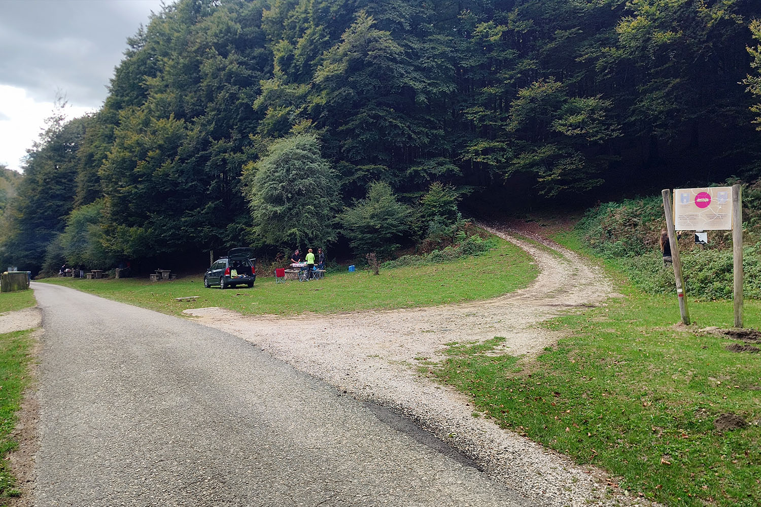
From the CIS, a short connecting section leads to the rest area. Follow the road for about 500 m to the junction, where you leave it and take a path on the right; this is where the footpath section begins.
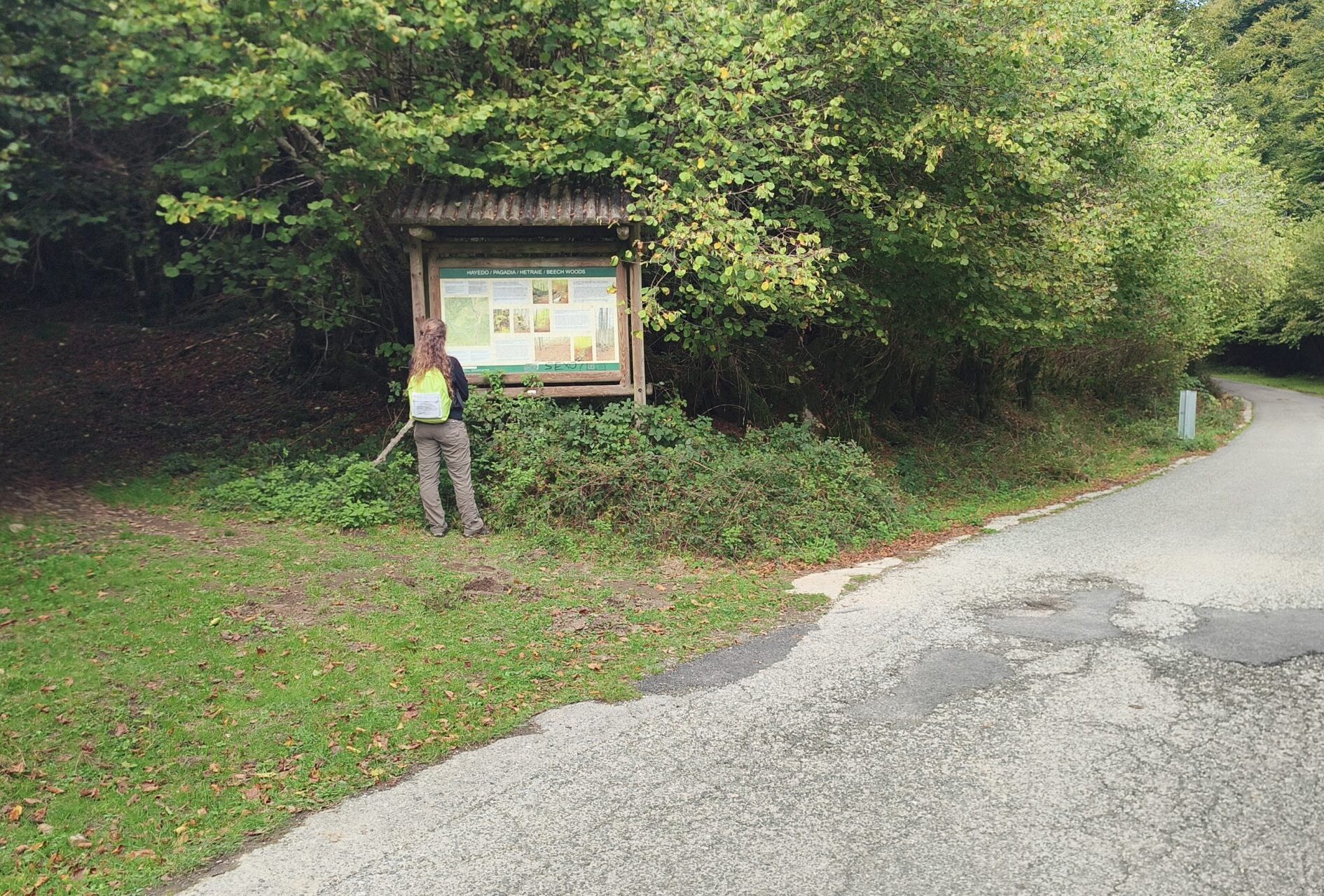
From here, the route enters the Sorogain forest. There is no need to look for major monuments: much of what we will interpret consists of subtle traces — a change in the shape of the ground, a stream, a borda or an old tree — that help us understand how this place works and how it has been used.
Stay on the waymarked path and use the map or the GPX track downloaded before setting off.
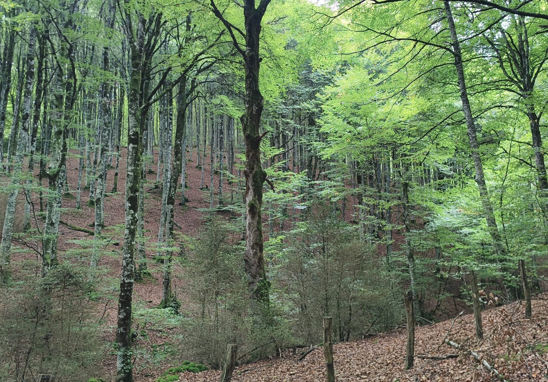
Beech is one of the trees that best represent Sorogain’s humid environments. Its dense canopy lets little light through in summer, creating a cool, shady atmosphere beneath it; in autumn, the forest changes completely before losing its leaves, in a display of yellows, ochres and reddish tones.
But a beech forest is much more than a group of trees. Old trees, dead wood and cavities provide food and shelter for forest birds, bats, insects and other organisms. They are not easy to spot, but they are here. Sorogain is part of the Monte Alduide Special Area of Conservation (SAC), within the Natura 2000 Network.
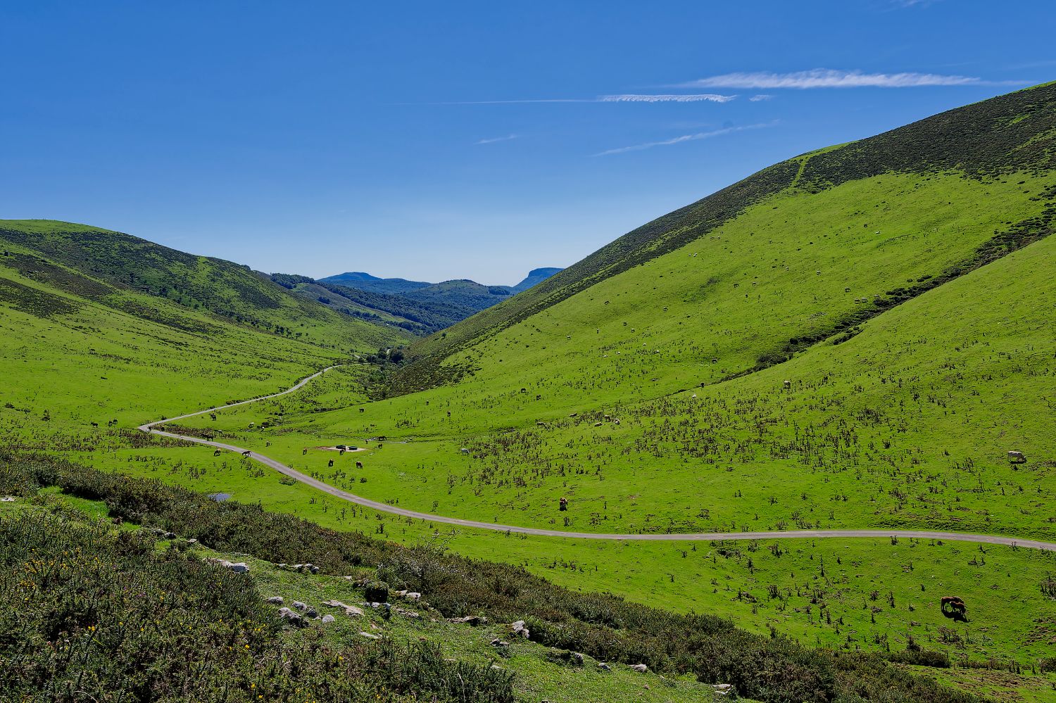
Beech forests, pastures, heathland, peat bogs and streams form a mosaic of habitats where Atlantic influence meets the Pyrenean mountains.
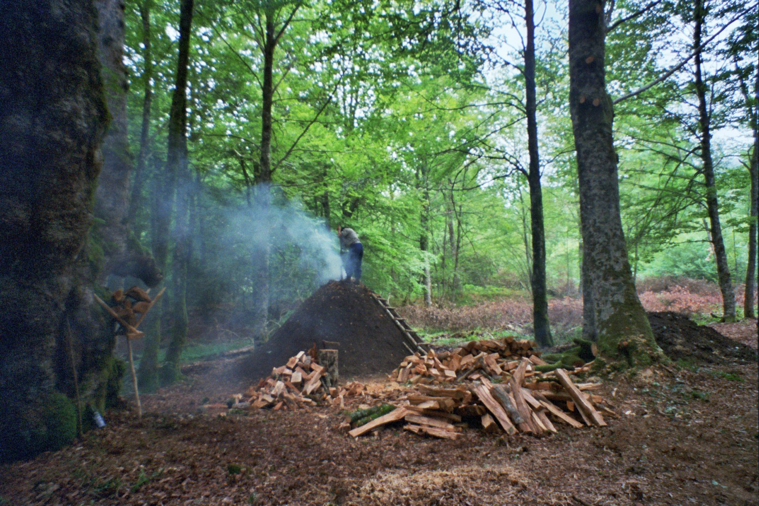
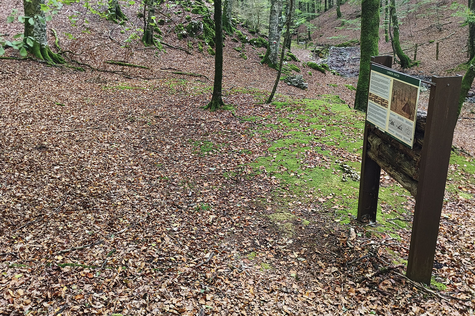
Look at the ground. A more or less circular, flattened surface may seem unremarkable, but it is the trace of an old charcoal-burning site, or ikatz-plaza.
For centuries, the forest provided firewood and timber for household needs, as well as the raw material for making charcoal. Those who made charcoal carefully stacked the wood, covered it with earth and vegetation, and kept it burning slowly and under control for days.
This produced a lightweight fuel with a high calorific value, used in ironworks and other industrial activities. These sites recall a very different landscape from today’s: a mountain intensively used, exploited and worked by generations of local people.
Although it may be hard to believe today, the mountain was a factory. Opposing interests sometimes had to be reconciled: keeping the forest for timber and firewood, or opening up pasture and bracken areas for livestock.
This created a mixed landscape of Atlantic wood pasture (dehesa): pollarded beech forest, cut back at around 3 metres in height, with livestock feeding on the beech mast (hayuco, the fruit of the beech) among the trees.
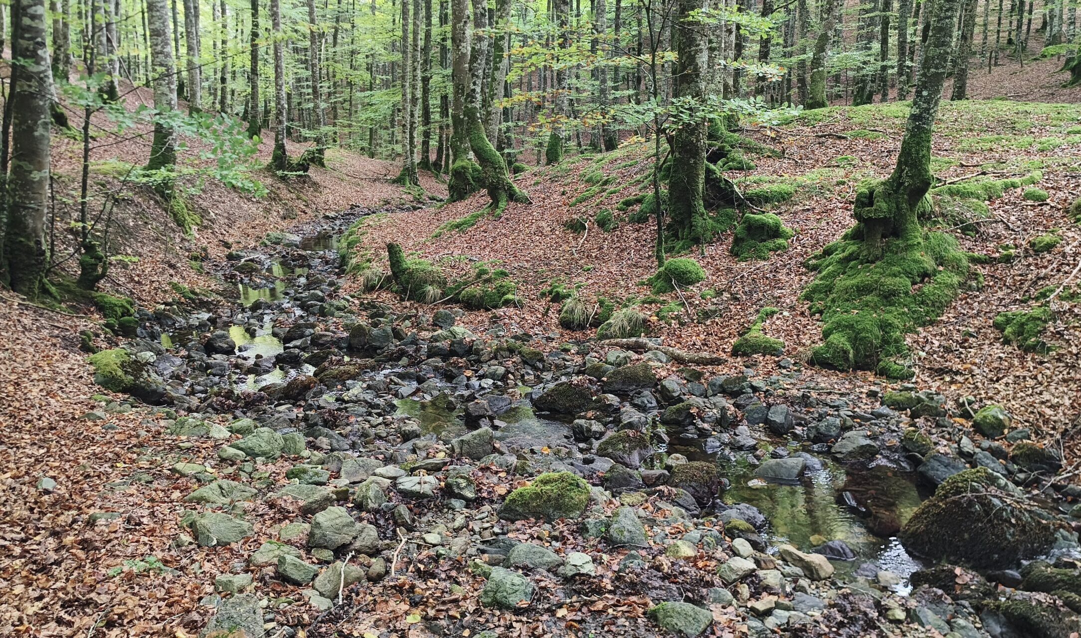
The Sorogaingo Erreka runs through Sorogain from north to south and, further downstream, continues its course as the Erro River. Its cold waters, riverbanks and small wetland habitats associated with the channel add diversity to a landscape dominated at first glance by forests and pastures.
The streams of the Monte Alduide SAC are home to species that are highly demanding of environmental quality, including brown trout and the rare Pyrenean desman. This small semi-aquatic mammal depends on well-preserved watercourses and is one of the most distinctive natural values of the protected area. Do not expect to see it: it is elusive and hard to spot. Its significance lies in what its presence tells us about the quality of the ecosystem.
Today we come to Sorogain to walk, eat, rest or enjoy the landscape. Until just a few decades ago, for some families this place was simply home. The last permanent inhabitants of Sorogain were linked to Casa Pablo and Borda Beltza.
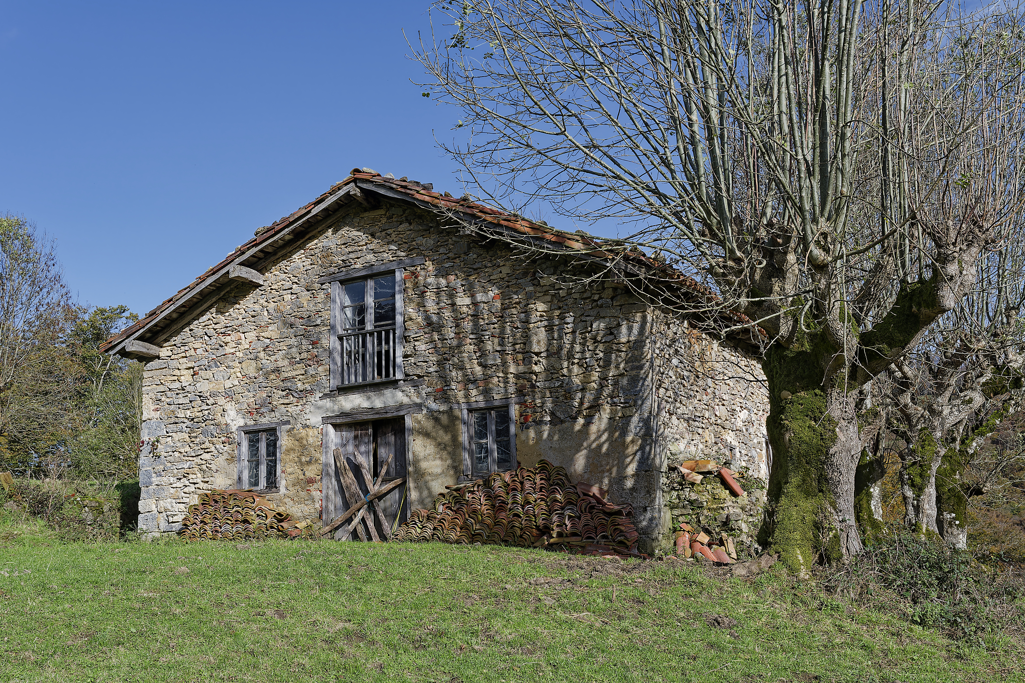
Their daily lives revolved around livestock, the forest, the pastures and the resources provided by the mountain, in a setting where climate, distances and communications shaped life far more than in the villages of the valley. The bordas, houses, paths and pastures we find today are the traces of a territory that was lived in and worked.
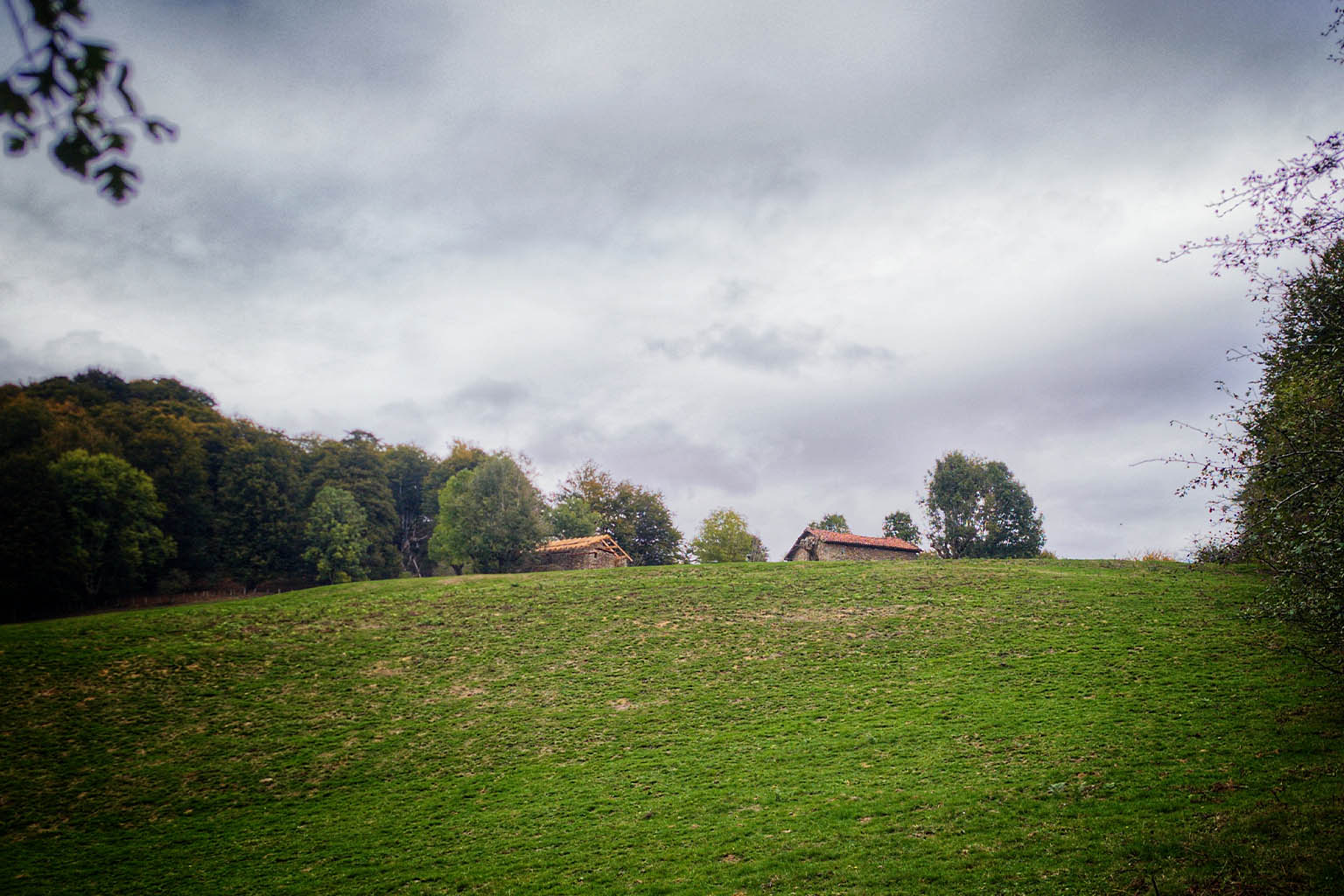
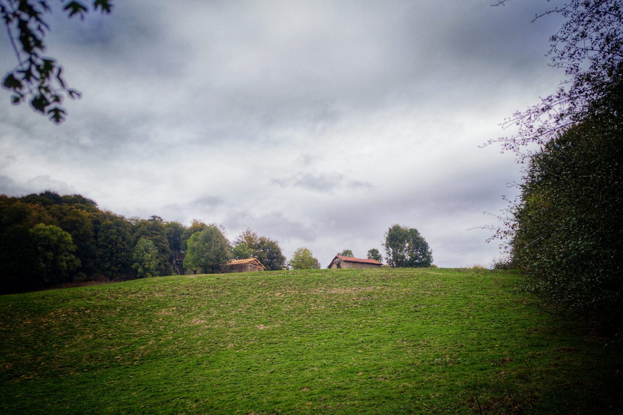
From the trail, above, you can see Borda Beltza, one of Sorogain’s bordas that is still standing. It is private property and the route does not provide access to it. If its walls could speak, they would tell countless stories of smuggling, of war, of hard work in the mountains, of the solitude and isolation of long winters… Making a living here was not easy. The landscape helps us understand the relationship between home, mountain and traditional land uses.
On the way back, look once more at the landscape you have just walked through. Forest, stream, pastures, old charcoal-burning sites and bordas form part of the same territory: the Monte de Utilidad Pública Sorogain, owned by the Ayuntamiento de Erroibar/Valle de Erro and covering 708.79 hectares.
Its present-day configuration also has its own history and is linked to the organisation of the historic land uses of the Quinto Real during the first third of the 20th century. Sorogain is therefore nature, but also communal heritage and collective memory: a publicly owned mountain used for generations and managed to reconcile livestock, forestry, environmental, social and recreational functions.
The walk ends here; the story of the territory continues at the CIS and on the other two routes.
Plan your visit to the exhibition and discover the history, landscape, and memory of Sorogain.