Sorogain

Ruta del Contrabando y la Fuga de Ezkaba

(Smuggling and the Ezkaba Prison Break Route)

For centuries, the border was part of everyday life in Sorogain.

About the route

Livestock and the people who tended them crossed these mountains, along with smuggled goods and, in 1938, prisoners who had escaped from the fort of Ezkaba and were trying to reach France.

This route follows some of those paths and reveals different ways of living with a border: making a living from it, trying to outwit it, watching over it, fortifying it, or seeking freedom on the other side.

Smuggling occupies an important part of the story: during the years of scarcity, it provided a large proportion of the young people in the Valle de Erro with an alternative to very poorly paid work. At night, the gau lana — night work — set people, packages and a network of paths and relays in motion.

Distance
10,4 km

Duration
≈ 5h (with stops)

Elevation gain
425 m

Difficulty
Medium

 Listen to La Ruta del Contrabando y la Fuga de Ezkaba (🔊 )

Interpretive stops along the route

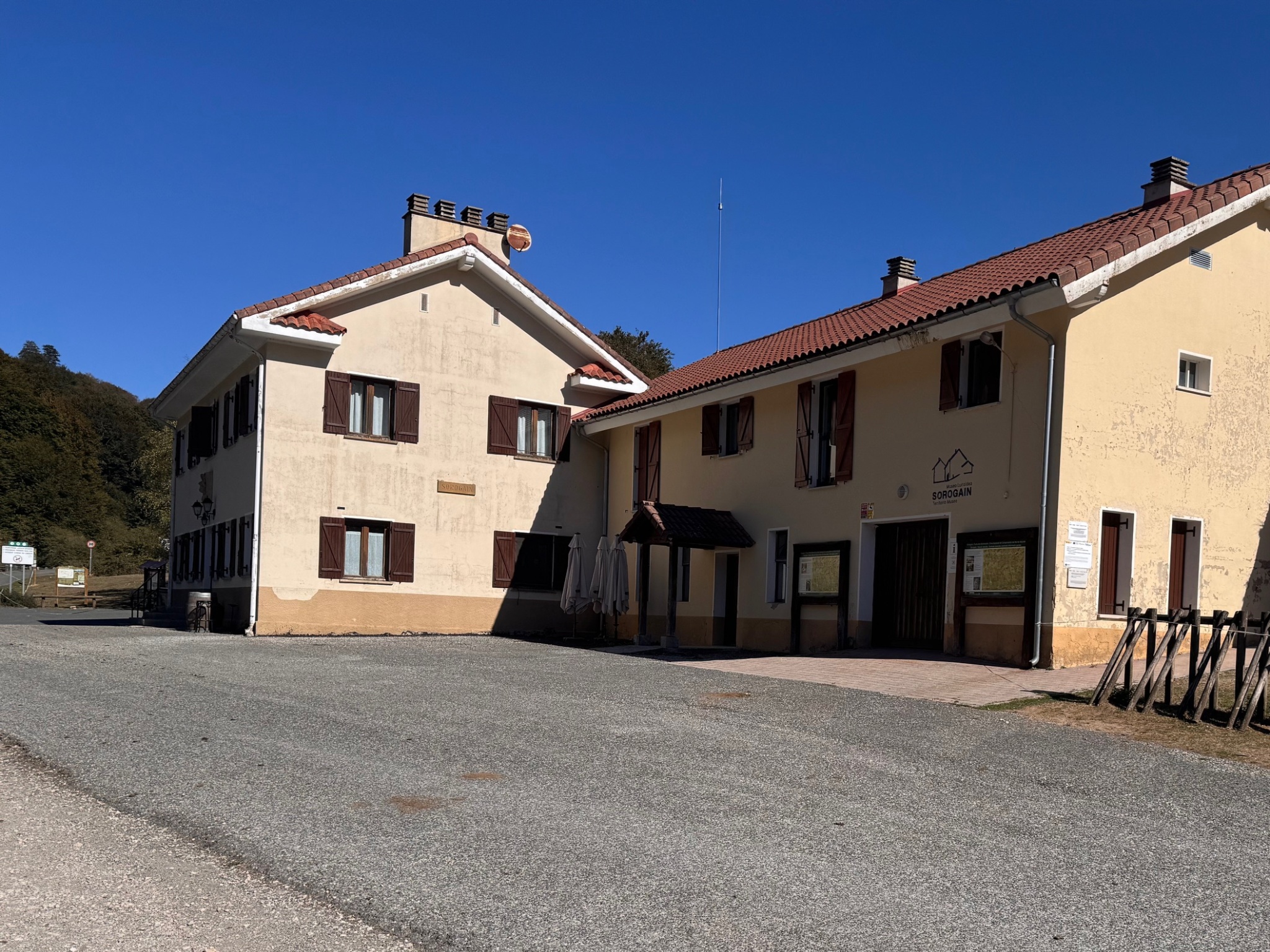
Centro de Interpretación de Sorogain y albergue. Fuente: Kaizen.
Point 0. CIS — Before setting out
Sorogain Interpretation Centre and hostel. Source: Kaizen.

Before setting out, visit the Sorogain Interpretation Centre. The CIS was conceived as the gateway to the Sorogain area and the starting point for its themed trails.

Its exhibition presents three key themes for reading and understanding Sorogain — Nature, Human Footprint and Border Territory — and links them to digital content available on the website. Its automated operation allows visitors to explore the Centre independently and then continue the experience outdoors.

The Centre is one of the actions under the Destination Tourism Sustainability Plan for the Navarrese Pyrenees, funded by NextGenerationEU.

Next to the CIS, the Sorogain Hostel offers accommodation, as well as bar and restaurant services.

Before setting off, download the GPX track: mobile coverage can be patchy in some parts of Sorogain. Wear suitable clothing and footwear for hiking, check the weather forecast before setting off, respect private property and livestock, keep your dog on a lead and always leave livestock gates as you find them. In an emergency, call 112.

On this route, we leave the Centre to follow, on the ground, the paths of a border as it was lived: clandestine trade, surveillance, war, memory and relations between the two sides.


⚲ View location on the map

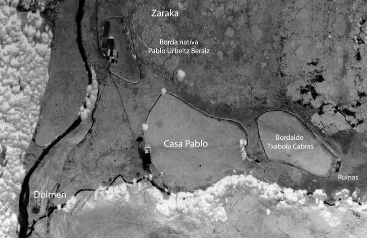
Casa Pablo en una fotografía aérea histórica. Fuente: Asociación Elutseder.
Casa Pablo in a historic aerial photograph. Source: Asociación Elutseder.

Although barely any remains survive today, Casa Pablo once stood here. It reminds us that Sorogain was not always simply a place of passage.

Until just a few decades ago, families lived here permanently, tied to livestock, the forest and the pastures. The historic house should not be confused with the current hostel, although some old mountaineering maps also used that name for Sorogaingo Etxea.

Living here meant knowing the rhythms of the mountain, the lines of communication and the paths to both sides of the border. The same territory served for work, travel, surveillance and, at times, the transport of clandestine goods.

Houses, bordas (mountain huts) and paths thus allow us to reconstruct a way of life in which the border was not something distant: it was part of the everyday landscape.


⚲ View location on the map

Recreación del gau lana: transporte nocturno de mercancías por los caminos de montaña. Fuente: Kaizen.
Re-creation of the gau lana: night-time transport of goods along the mountain paths. Source: Kaizen.

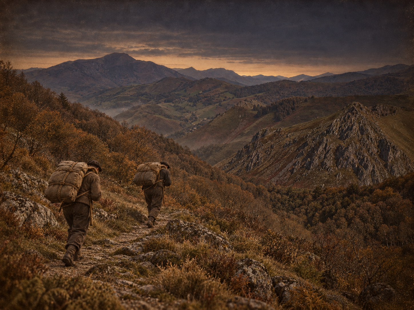
Paths used for smuggling between France and the Valle de Erro ran through this area. In the 1950s, this activity came to provide significant income for many young people in the valley.

Among the goods most often mentioned are lace trim (puntilla) and nylon. Packages could weigh tens of kilos and were carried on the back, held by ropes resting on the kopetako, a pad worn across the forehead.

The journey was long and organised in relays: one group would collect the load, walk for hours and hand it over to the next. The goods then continued on towards villages in the valley and, in some cases, towards more distant industrial destinations. This was the gau lana: literally, “night work”.

Behind the journeys there was also a network of houses and families that kept watch, gave warnings and made the journeys possible.


⚲ View location on the map

FIND OUT MORE · How a journey worked

Local accounts speak of teams, relays and people who knew the schedules and watch posts well. Knowledge of the mountain was part of the work: you had to know which way to walk at night, where to hand over the load and how to react if guards appeared. Routes could stretch for many kilometres to the south of the valley.

Recreación del pequeño estraperlo: transporte de harina en años de escasez. Fuente: Kaizen.
Re-creation of small-scale estraperlo: carrying flour in years of scarcity. Source: Kaizen.

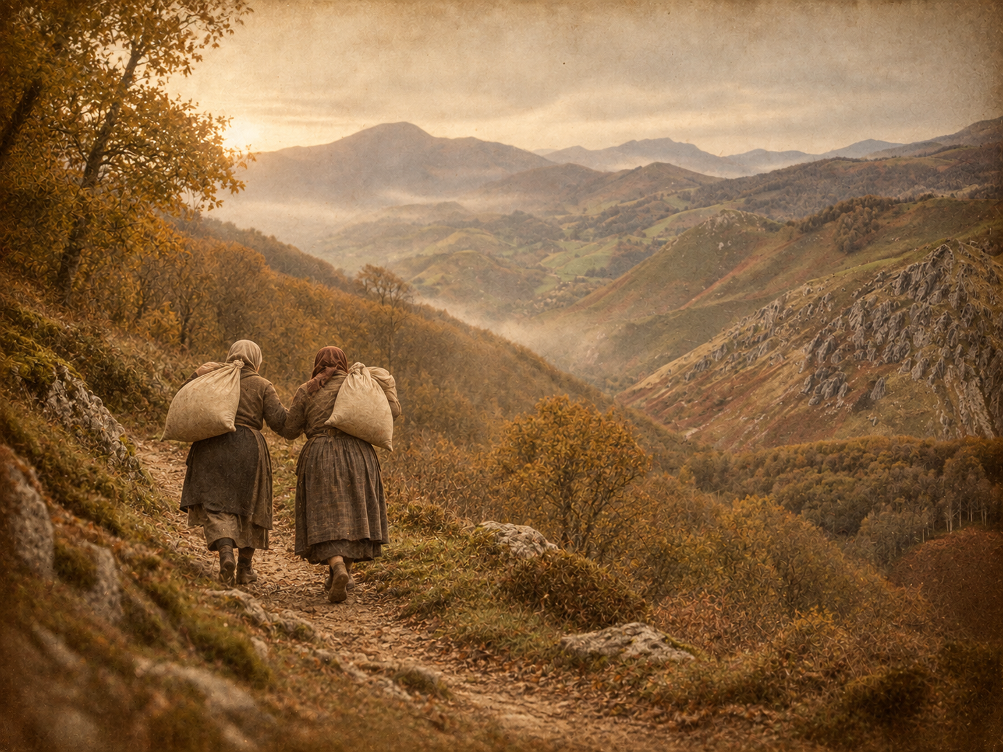
Smuggling worked as a network of families and neighbours in which women carried out essential tasks, often less visible. Local memory recalls how, from their houses, they watched the guards’ movements, passed on warnings through signals or through the «txikis» — the youngest children in the house —, could temporarily hide people or goods, and keep the guards occupied to buy time. Smuggling thus ran through domestic life and required the whole family to take part, each person in whatever role they could take on.

In the story told at the CIS, Josefa recounts that she warned of the guards’ arrival by hanging a white sheet from the window. On one occasion, when her husband could not make the trip, she went out at night, reached the agreed point, picked up a package hidden beside a dolmen and carried it on her back.

Other testimonies gathered in Navarre and the Valle de Erro, not necessarily linked to this same path, also show the small-scale family estraperlo (black-market trade) of the years of scarcity. Palmira Erro Urkullu recalled how she and her sister carried flour on their shoulders, taking advantage of changes of guard and seeking routes that avoided checkpoints; basic goods such as flour, bread and coffee appear in her memories. Recovering these roles and experiences helps us better understand how smuggling networks operated and completes a story that, for a long time, focused almost exclusively on male porters


⚲ View location on the map

FIND OUT MORE · Watching and being watched

People had to evade the forces responsible for guarding the border: the carabineros (border guards) in earlier periods and, later, the Guardia Civil. This is why moonless nights, in complete darkness, were preferred, which required knowing the mountain like the back of your hand.

Local accounts mention Guardia Civil posts and old carabineros’ huts, as well as strategies for detecting or avoiding checkpoints. Some memories also speak of informal agreements or payments.

FIND OUT MORE · When smuggling ended badly

Smuggling could bring in more income than the valley’s usual jobs, but it carried risks. Local documentation records episodes of violence, such as that of Jesús Beaumont, wounded by gunfire during a trip, and the deaths of Juan Villanueva in 1958 and Nicolás Ibarra in 1959.

These stories help avoid a romanticised view of the gau lana: alongside long nights and heavy loads, there could be seizures, pursuits and, in exceptional cases, fatal consequences.

Paisaje del corredor hacia Urepel. Fuente: Kaizen.

On 22 May 1938, 795 prisoners escaped from the San Cristóbal Fort, in Ezkaba, intending to reach France.

The pursuit was immediate and extremely violent: hundreds were captured and 206 were murdered in the mountains; only three reached France.

The GR 225 today retraces, based on the route taken by one of the escapees, the path between the fort and Urepel. At Beraskoain, our route enters this corridor of memory.

Up to this point we have followed stories of goods crossing the border clandestinely; in 1938, these mountains were crossed by people for whom reaching the other side meant survival and regaining their freedom.


⚲ View location on the map

FIND OUT MORE · The escape also left its mark on Erroibar/Valle de Erro

The pursuit reached various places in the Valle de Erro. Local memory preserves testimonies and materials linked to, among other places, Lintzoain. In 2017, exhumation work was carried out there in connection with victims of the escape.

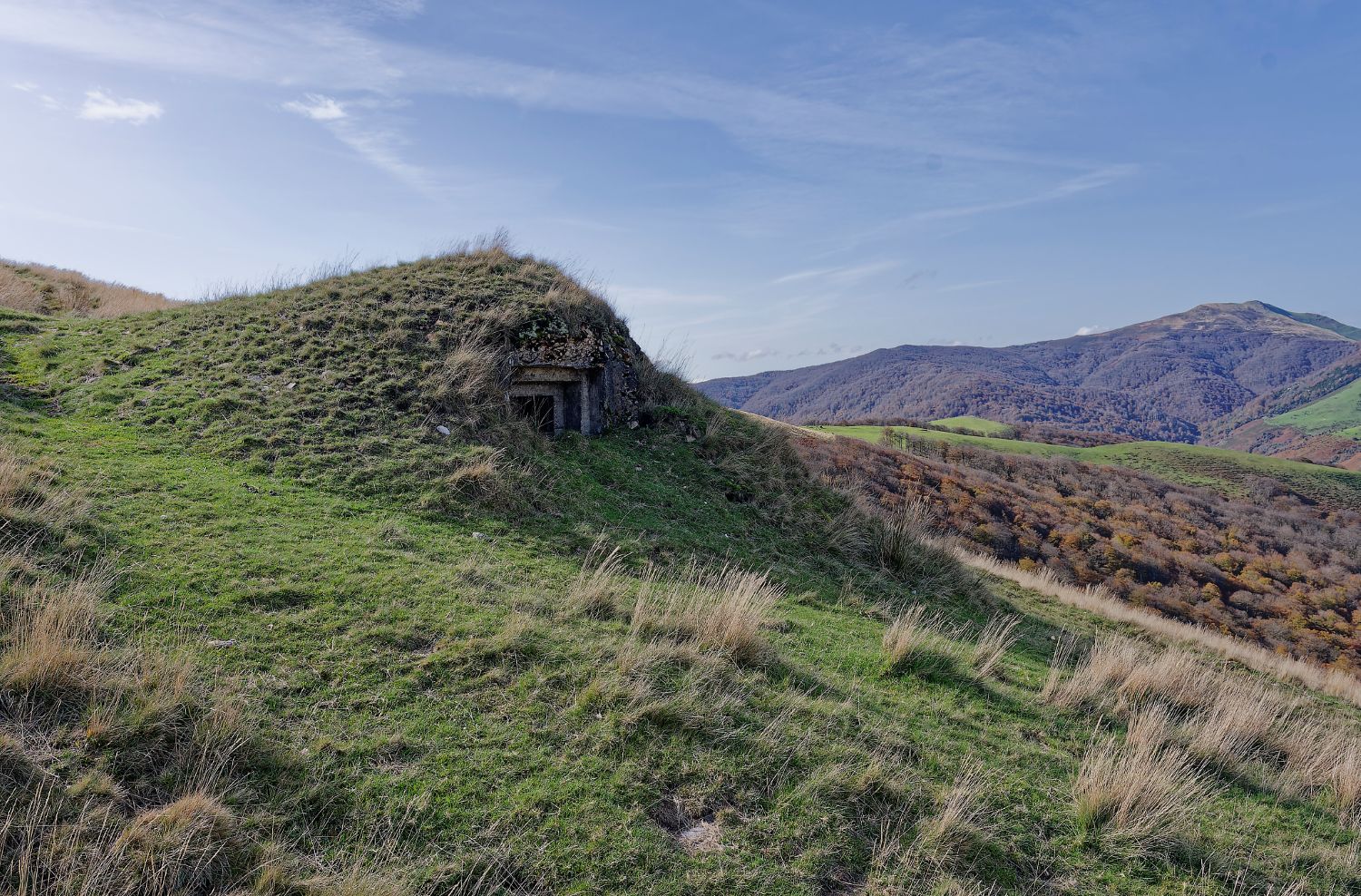
Búnker de Línea P situado en el trazado. Fuente: Kaizen.
Line P bunker on the route. Source: Kaizen.

After the Civil War, the Pyrenean border took on a very different meaning. The Francoist regime promoted the construction of an extensive network of defensive positions in case of an invasion from France. This is the system commonly known as Line P: bunkers, machine-gun nests and other fortifications spread along the Pyrenees. These defences never had to fulfil the military function for which they were built, but they left a physical mark that can still be recognised in the mountains.

The route passes by one of these features before reaching Mendiaundi. The border that people involved in smuggling tried to cross unseen also appeared, from another logic, as a line that the State sought to watch over and defend militarily.


⚲ View location on the map

Panorámica desde Mendiaundi / loma fronteriza. Fuente: Kaizen.
View from Mendiaundi / the border ridge. Source: Kaizen.

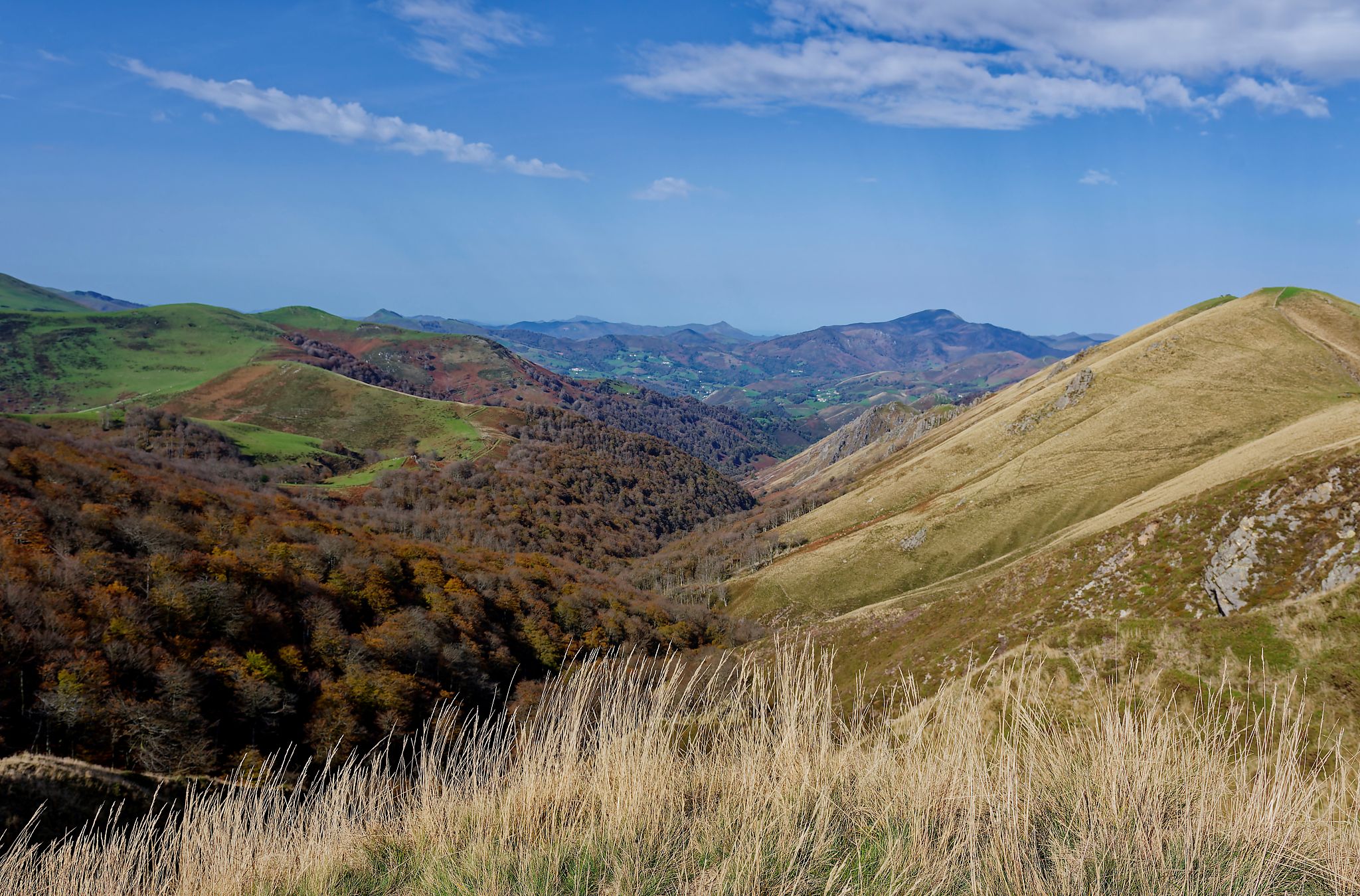
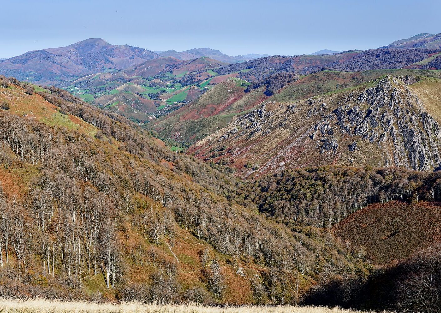
Mendiaundi offers a pause in a route full of stories. From the ridge, the terrain helps us understand what maps simplify: the border crosses a succession of mountains, passes and ravines that for centuries shaped the movement of people and livestock.

For people involved in smuggling and for people on the run, knowing this terrain could be decisive; for those who watched over the muga, controlling the passes was equally important.

The view also brings us back to an idea found throughout Sorogain: the same mountain can be pasture, path, administrative boundary, refuge and place of memory, all at once. Here the landscape does not simply accompany the story; it is part of the story.


⚲ View location on the map

Crómlech de Arbilleta. Fuente: Kaizen.
Arbilleta cromlech. Source: Kaizen.

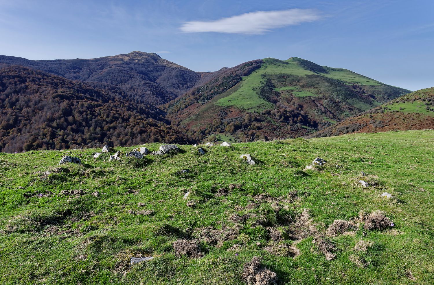
Long before today’s borders, this pass was already a significant place in the landscape. Megaliths appear frequently at passes, promontories, watersheds, crossroads and points of passage — places from which territory is organised and travelled.

Arbilleta is one example: a significant concentration of archaeological remains has been documented at the pass — cromlechs, stone alignments and hut foundations. Much current archaeological scholarship considers that some of these megaliths, besides their funerary function, may have acted as territorial markers and as elements of community cohesion. In that sense, Arbilleta is a reminder that mountain passes already had social and territorial value long before modern borders.

Don’t forget to enjoy the superb views: as the Casa Pablo family says in the Territorio Frontera video shown during the CIS visit, from this balcony you can see the whole Valle de Erro.


⚲ View point on the map

Hayedo a lo largo de la ruta. Fuente: Kaizen.
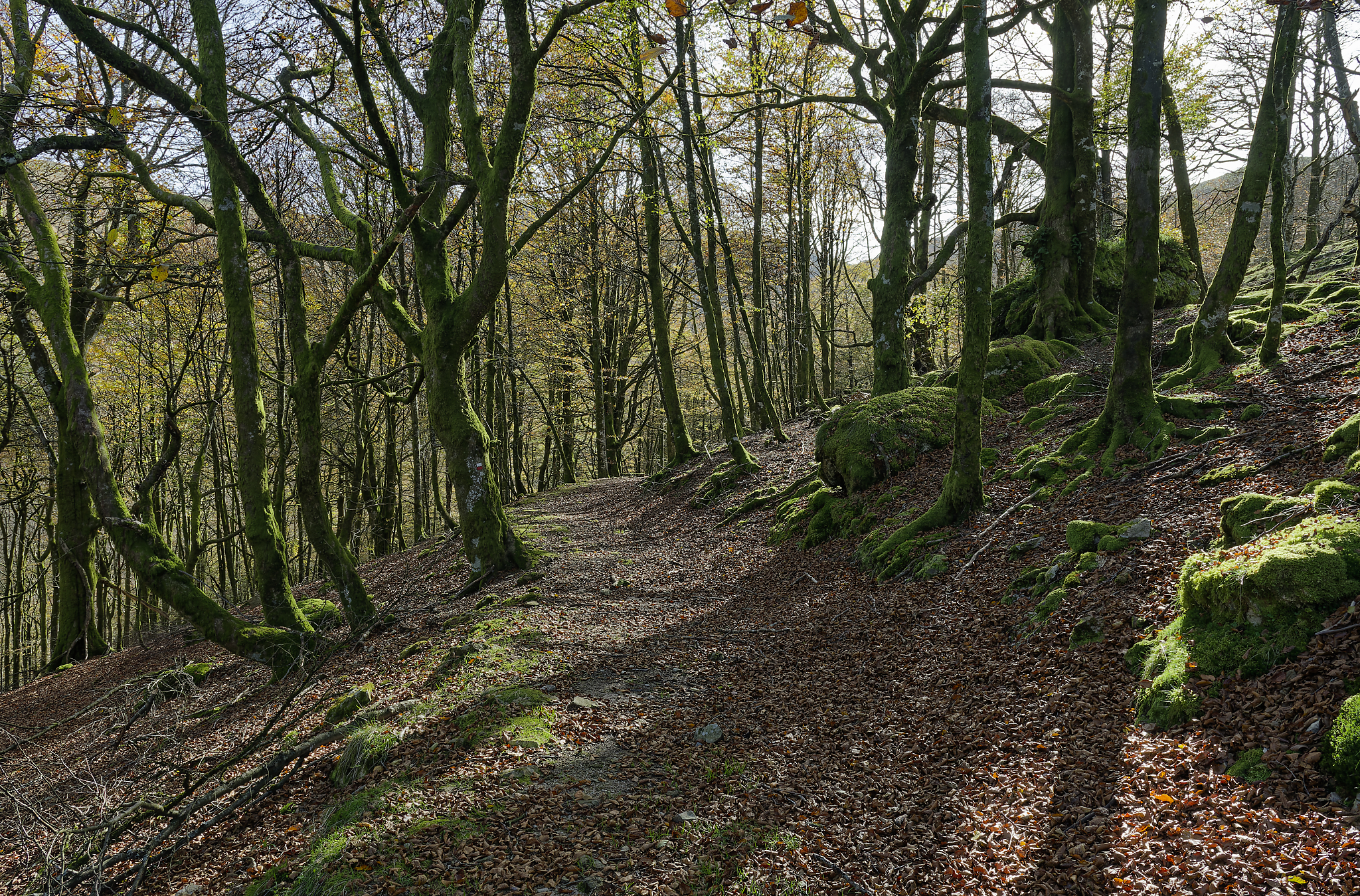
Beech forest along the route. Source: Kaizen.

The return to the CIS closes a route that has explored different ways of understanding the border.

We have followed paths of smuggling, domestic memory, persecution, fortification and passage towards France. None of these stories can be explained without the land itself: the passes, the forests and the trails determined where people could move and what risks each person took on.

On returning to the CIS, the landscape that seemed empty at the start now appears full of connections and memories. This is the logic of Sorogain Territorio Museo: to use the Centre as a gateway and the route as a way of reading, on the ground, what history has left on these paths.


⚲ View location on the map
Map of the route

Download the track for The Smuggling and the Ezkaba Prison Break route

Visit the Centre

Plan your visit to the exhibition and discover the history, landscape, and memory of Sorogain.